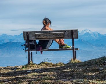
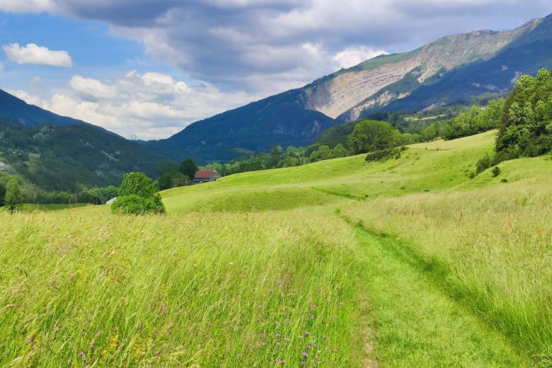
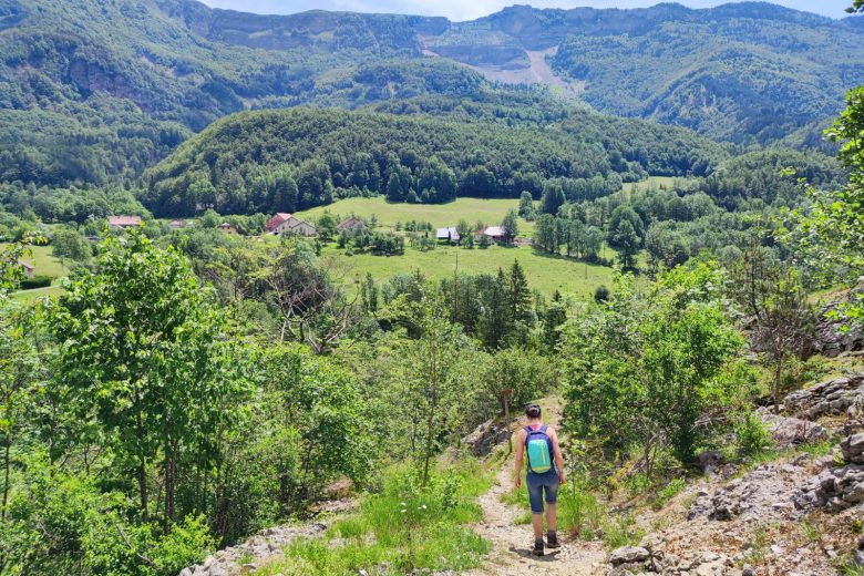
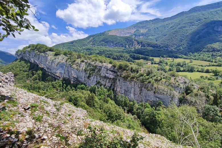
Right in the heart of the Valserine valley, you'll be amazed by the diversity of landscapes this route offers, in an authentic and wild atmosphere.
The hamlets you pass through offer picture-postcard scenery and remarkable viewpoints.
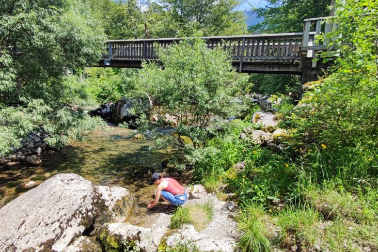
The Thomas mill was commissioned in the 18th century.
Its millstones transformed into flour the cereals grown around the hamlets of Noirecombe, Rosset and La Rivière, and the many isolated houses scattered along the valley slopes. The old footbridge was swept away by exceptional floods in 1910.
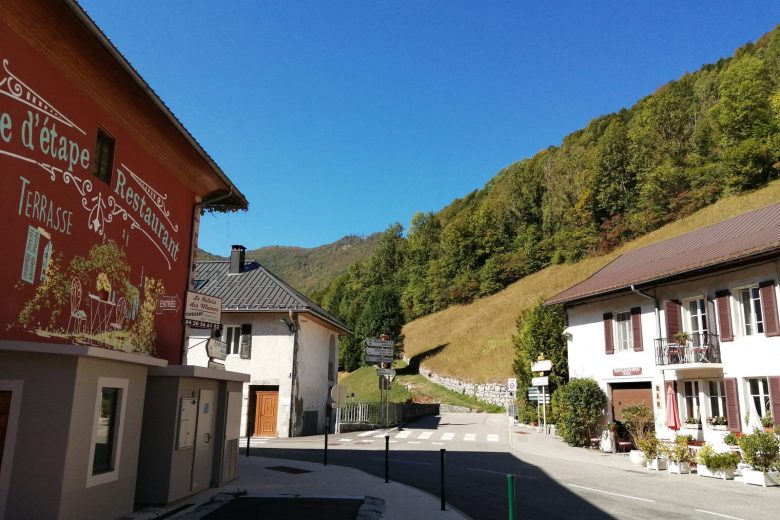
Guidebook with maps/step-by-step: Start: From the village center, in front of the town hall (A), head south. Follow the road to the Forens bridge (B).Cross the bridge and turn right towards Noirecombe.Go up to the hamlet (C), then follow a small road up to Le Combet (D).Take the path on the right towards Fond des Prés (E).Descend towards Pont du Diable.At a crossroads (F), leave the Pont du Diable and turn right towards La Miérette.Pass this locality and descend a winding path, crossing a first footbridge before arriving at Moulin Thomas (G).Cross the footbridge over the Valserine and follow a wide path to a crossroads (H).Head for Fontaine-Bénite.100m further on, a roundabout leads to an oratory dedicated to Saint-Roland.Pass between two low stone walls, then between two houses, before taking a left-hand path leading to Les Platelets (I).From here, climb up to the right and cross a road to take the path opposite to the hamlet of Rosset (J).Descend as far as Petite Bossonaz, then climb up to an isolated house, skirting it to the left and crossing meadows to reach the place known as "Bellaigue".Follow the path below back to the village of Chezery.
More information:
Before setting off:- Find out about general and local weather conditions, making sure there's no precipitation.- Find out about the approach to the route, its height, how long it will take to reach the summit and any possible escapes (IGN map, GPS, topo-guide, etc.).- Evaluate possible risks by asking mountain professionals, refuges and gîtes.- Inform someone close to you of your objective, and contact them again in the event of any changes: departure and return times, number of participants with telephone numbers for each, vehicle(s), parking, etc.- Avoid setting off alone, and use equipment that is suitable for the activity, adjusted and in good condition: headlamp, complete first-aid kit, survival blanket, etc.In the event of a problem, call 112 (European emergency number).
Itinerary
In detail
- Distance: 10.3 km
- Markup: BALISE
- Elevation gain : 330 m
- Negative elevation gain : 330 m
- Daily duration: 180 min
- Type of route: BOUCLE
- Beaconing accuracy: Marked in yellow
- Nature of the land: Stone
- Nature of the land: Ground
- Nature of the land: Hard coating (tar, cement, flooring)
- Nature of the land: Not suitable for strollers
Opening
From 01/04 to 30/11.
Rates
Free access.
Facilities & services
Facilities
- Play area
- Car park
Services
- Pets welcome
- Coach access
- Accommodation
- Restaurant
Host language(s)
- French

