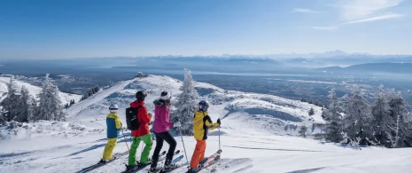


MTB Course 81 – blue – les Druides – Espace FFC Ain Forestière

Recommended for regular riders. You can also start from the Genêts campsite in Gex.
Depart from the Gex campsite.
Follow the path along the railroad line towards Divonne.
At the junction with a gravel road, turn left into the housing estate and join the Pitegny road, then turn right (facing the Alps).
at the Pont de Chauvilly road, take the Chemin de Chauvilly to the left (dir. Divonne) for 600 m, then at 3:00 am, turn right onto a farm track (facing the Alps), which climbs slightly to reach the Route de Mourex.
Enter the village of Mourex, turn right at the bend (pretty stone house), then left onto “Mont Mourex”, a narrow asphalt road which ends in a carriage road.
When you reach a square/parking area, take the path on the left: direction “Vesancy”. The path descends slightly, then bends to the right.
Turn left to return to the Gex side. The path joins the RD 984c.
Be careful when crossing the road to reach Vesancy! Take the path immediately beside it, which leads up to and through the village. After the bend in the road, go straight up the hill (Chemin de Bottenay – towards Gex).
Continue in the same direction along chemin Regaud, at the next intersection: turn left (opposite Les Alpes), then right into rue de l’Oudard, then left (opposite Les Alpes) into rue Georges Charpak.
At the traffic lights, turn right for 100 m, then cross opposite to reach the campsite/fire brigade museum. Pass under the bridge to end your walk.
Itinerary details
Description
10 km circuit starting from Mourex, with a nice descent to the D.984c, which you cross (be careful!) before climbing to Vesancy. After a few hundred metres on tarmac, follow the Vie de l'Etraz to the outskirts of Péroset, from where you reach the Gex campsite. Pass along the railroad line, a short stretch of road before turning left onto a flat track and then a long climb to Mourex.