


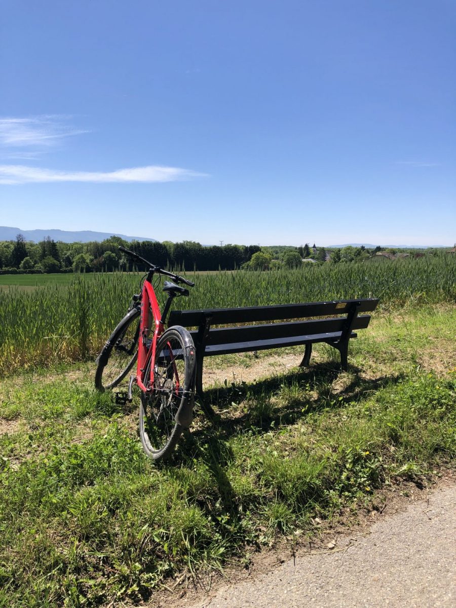
Mountain bike ride around the Franco-Vaudoise border through fields and forests along the Versoix.
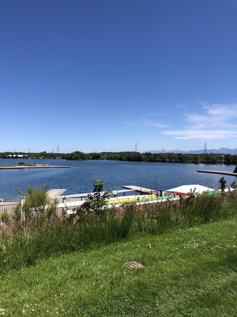
Departure : Divonne les Bains-Parking between the customs and the lake
Access: By car: Join the Divonne lake parking lot next to the customs office.
Route description:
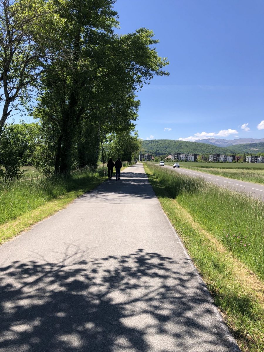
Leave the parking lot at the roundabout, take the second exit and join the cycle path on the left. At the next roundabout, turn right.
At the end of the cycle path, turn left in front of the gendarmerie and cross to continue on the cycle path.
Go up Boulevard des Epinettes and turn left at the speed bump.
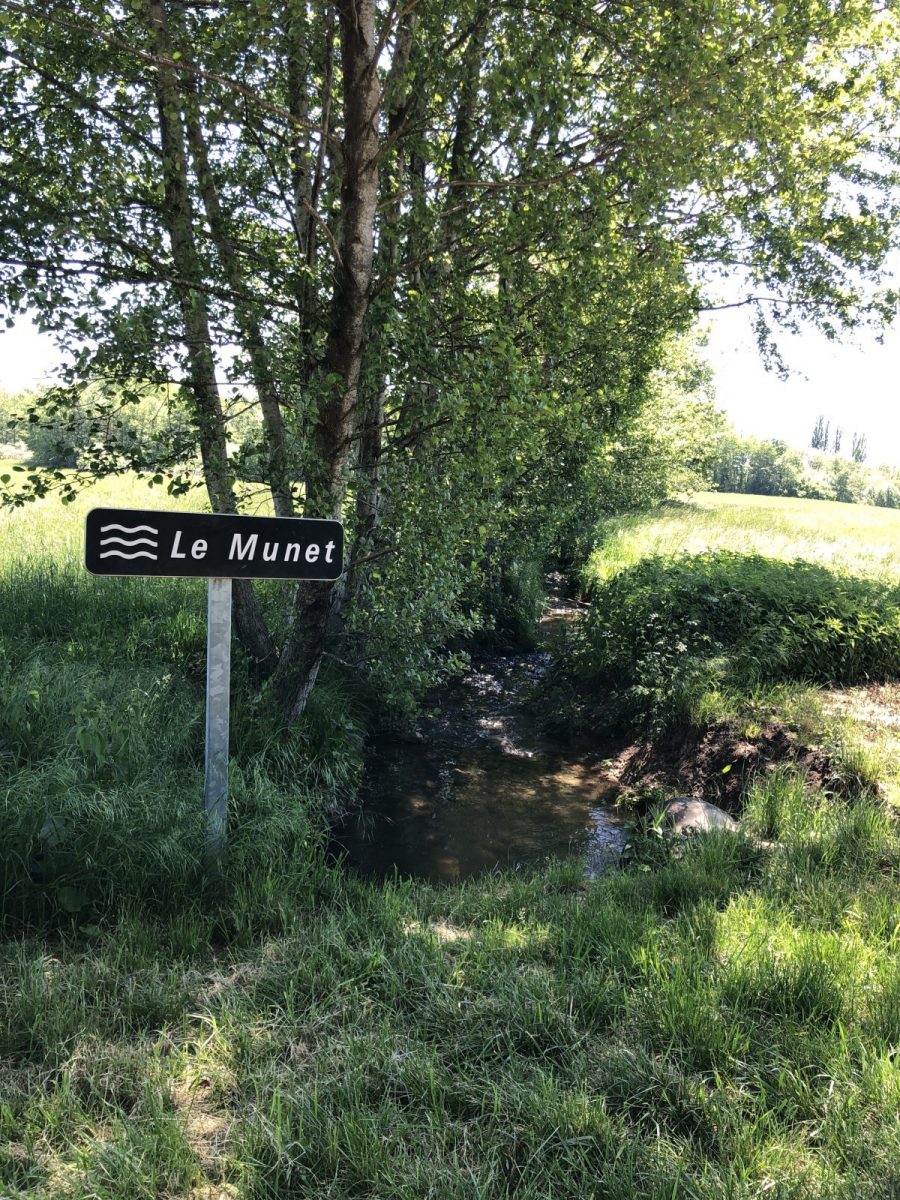
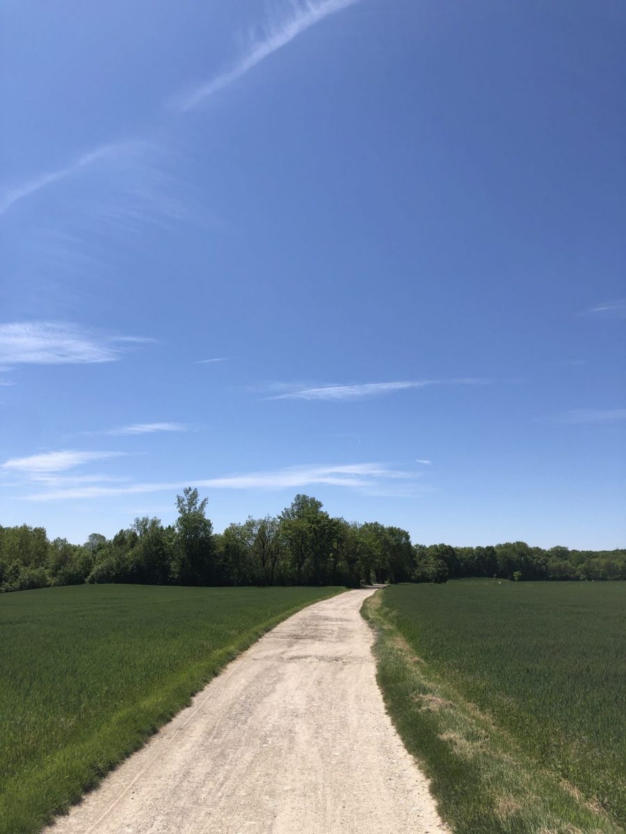
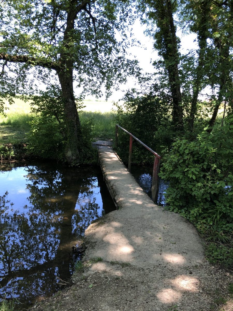
Follow the path, past Héli-Divonne, over the Le Munet stream and straight on towards Sauverny.
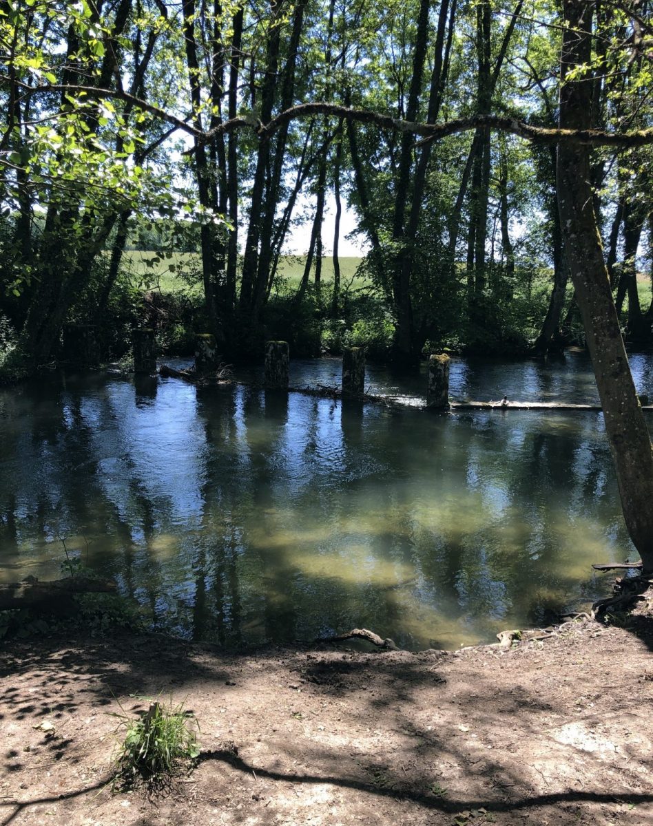
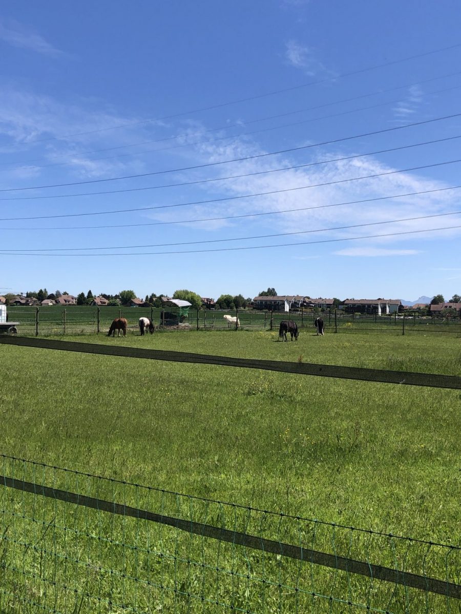
The Versoix will be on your left all along the path.
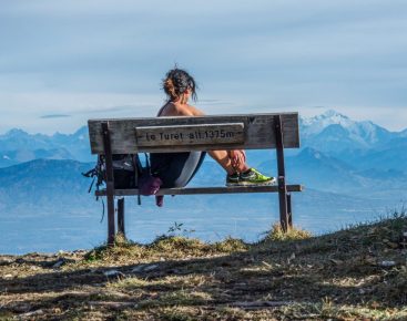
Before you reach Sauverny, there's a bench where you can take a break and enjoy a magnificent panoramic view, weather permitting.
In the center of Sauverny, turn left and, once you've crossed the Franco-Swiss border, immediately left onto the main road.
Continue on Route de Sauverny, then at the entrance to Chavannes-Des-Bois, turn left into Chemin Des Mouilles.
At the end of this path, follow the road to the left for about 200m, then turn left onto a footpath.
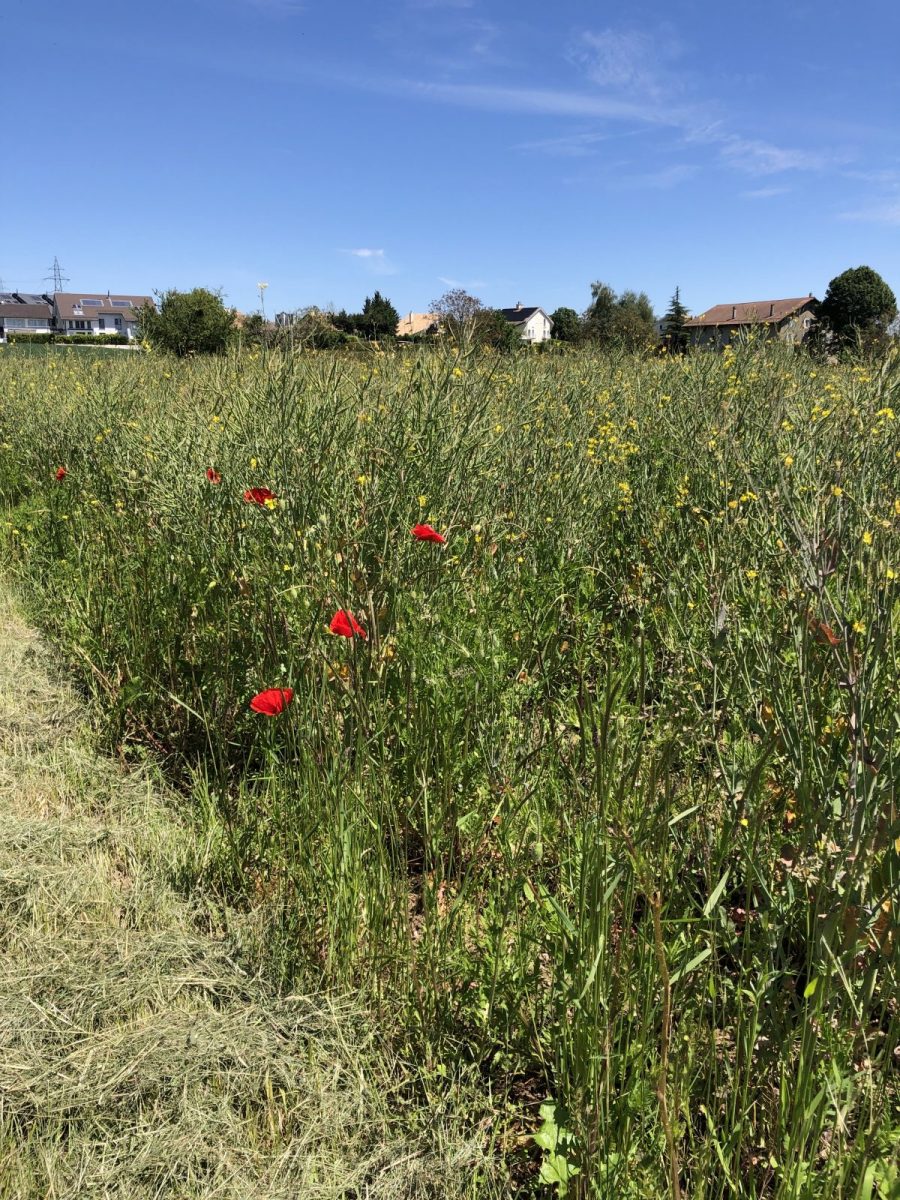
At the first intersection, turn right and continue straight ahead through the fields.
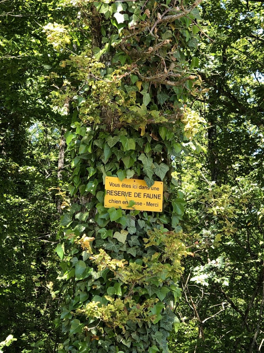
REMINDER: Dogs must be kept on a leash.
At the gas station, cross the road and continue straight ahead.
Before the end of this path, fork left towards the small stretch of forest, cross the stream and continue through the fields.
At the end of the path, turn left and stay on the road until you reach Crassier.
At the roundabout in the center of Crassier, take the third exit back to the French side.
Follow the road until you reach the cycle path on the left.
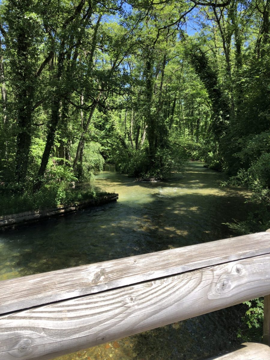
Once in Divonne, cross the wooden footbridge over La Divonne to reach the lake.
Ride around the lake in any direction to reach the parking lot at the starting point.
More information:
Safety instructions :-find out about the main and local weather conditions-find out about the approach walk-avoid setting off alone-Inform someone close to you of your objective (departure and return times, number of participants with telephone numbers, meeting point, etc.).-in the event of a problem, call 112 (European emergency number).What to bring :-bring sufficient water (no water points on the course)-clothing and accessories suited to the season and weather conditions-shoes suited to the terrain, including for children-cell phone
Itinerary
In detail
- Distance: 19.6 km
- Markup: NON_BALISE
- Elevation gain : 65 m
- Negative elevation gain : 66 m
- Daily duration: 100 min
- Type of route: BOUCLE
- Nature of the land: Stone
- Nature of the land: Ground
- Nature of the land: Hard coating (tar, cement, flooring)
Opening
All year round.
Rates
Free access.
Facilities & services
Host language(s)
- French
