Discover the Menthières mountain pastures and the Chalet du Sac.
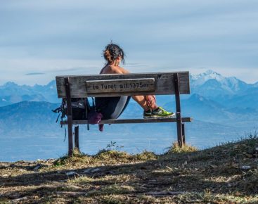
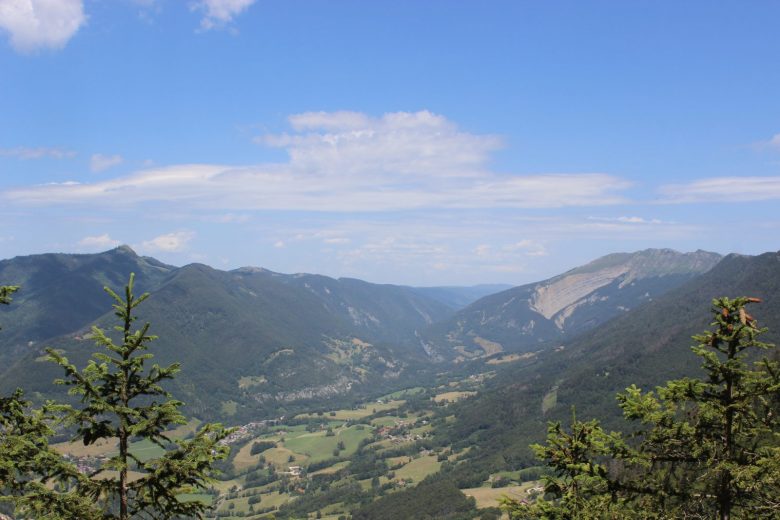
On a clear day, enjoy the view of Valserhône, the Retord plateau and the Alps, then cross the forest to reach the mountain pastures.
Guidebook with maps/step-by-step: From the center of Menthières, follow the red and yellow signs. Pass "l'accro branche", after a large farm building, the path splits in two, take the right-hand path. Continue up towards "Grange Velue" on the GR. At Grange Velue, 1160 m alt, turn left towards La Pelaz.Leave the "Roche de Beauchâteau" sign and climb to the right. After a steep climb, you come to a clearing. At "la Pelaz 1375 m d'alt", turn right towards "Col du Sac" on a wide track.At the crossroads below the "Cabane du Téléphone", turn left to reach the "Chalet du Sac" on the forest track. At Chalet du Sac (1380 m a.s.l.), turn right and descend into the valley as far as La Corne (1330 m a.s.l.).At "La Corne", take a pretty path down through the undergrowth to "Grange Velue".Return to Menthières by the same route as the outward journey.
More information:
Before setting off:- Find out about general and local weather conditions, making sure there's no precipitation.- Find out about the approach to the route, its height, how long it will take to reach the summit and any possible escapes (IGN map, GPS, topo-guide, etc.).- Evaluate possible risks by asking mountain professionals, refuges and gîtes.- Inform someone close to you of your objective, and contact them again in the event of any changes: departure and return times, number of participants with telephone numbers for each, vehicle(s), parking, etc.- Avoid setting off alone, and use equipment that is suitable for the activity, adjusted and in good condition: headlamp, complete first-aid kit, survival blanket, etc.In the event of a problem, call 112 (European emergency number).
Itinerary
In detail
- Distance: 7.9 km
- Markup: BALISE
- Elevation gain : 302 m
- Negative elevation gain : 302 m
- Daily duration: 150 min
- Type of route: BOUCLE
- Beaconing accuracy: Yellow PR markings.
- Nature of the land: Stone
- Nature of the land: Ground
- Nature of the land: Hard coating (tar, cement, flooring)
- Nature of the land: Grit
- Nature of the land: Not suitable for strollers
Opening
From 01/04 to 30/11.
Subject to favorable weather.
Rates
Free access.
Facilities & services
Facilities
- Public WC
- Car park
- Free car park
Host language(s)
- French


