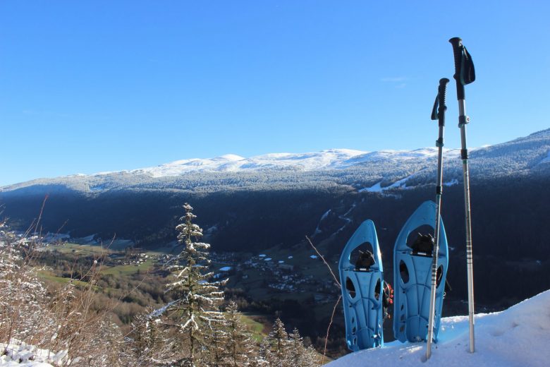
This trail, on a balcony overlooking the high Jura chain, is accessible to all snowshoers.
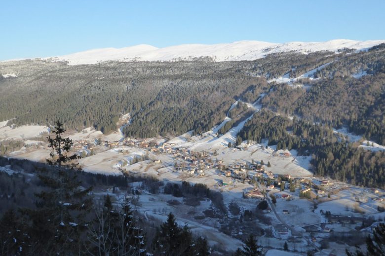
Panoramic views over the Valserine valley, including Lélex...and the upper Jura chain.
From the viewpoint at 1187 m, on the north side of the valley, discover the village of Lélex and the Valserine valley.
The panorama of the high mountain range encompasses, from north to south, the ridges between Le Colomby de Gex and the Reculet cross.
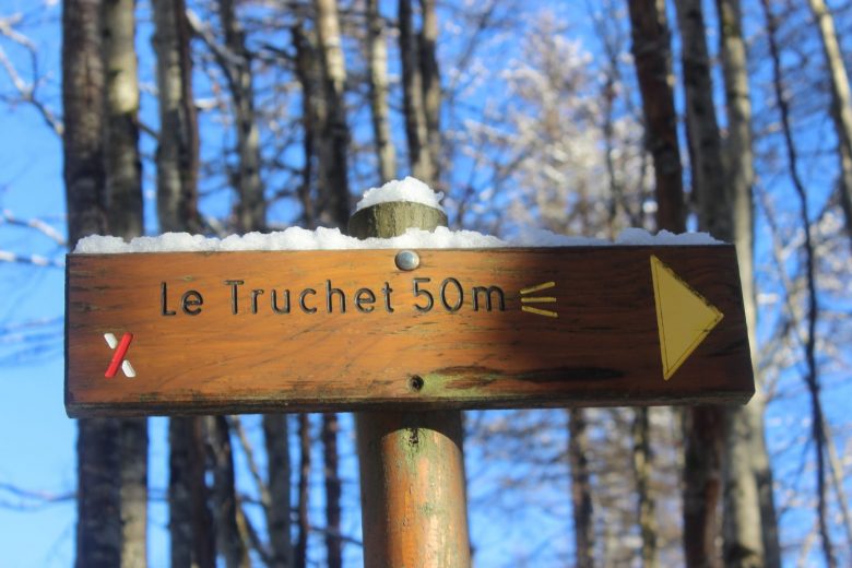
Guidebook with maps/step-by-step: Start from the village center (tourist office), follow the road south, and take the route du Frenet downhill. Pass the tennis courts and cross the Fruitière bridge. Leave the road for the Chemin des Bals, and continue towards La Crosse (house). Then: don't miss the junction on the right to enter the woods on the path leading to the Truchet lookout. The return is identical to the outward journey.
More information:
Pre-outing preparation1. 1 Weather○ Find out about general and local weather conditions.○ Find out about snow quality and changes in conditions depending on sunshine (icy, powdery, etc.).○ Check that no precipitation is forecast.1. 2. itinerary○ Find out about the approach and height of the route.○ Consult route time and reclimbing possibilities.○ Use resources such as IGN maps, GPS, topo-guides.1. 3 Risk assessment○ Ask mountain professionals (guides, refuges, lodges) about possible risks.Communication1.1 Inform a loved one○ Communicate your goal to someone close to you.○ Provide planned departure and return times.○ Give the number of participants with everyone's phone numbers.○ Specify vehicle(s) and parking location.Equipment and safety1. 1. equip yourself correctly○ Do not set off alone.○ Use equipment that is suitable for the activity, well adjusted and in good condition.○ Carry a headlamp, a complete first-aid kit, a survival blanket, etc.○ Wear clothing suited to the season and conditions (cold, hot, wet...).○ Hiking shoes suited to the terrain (even for children!).○ Use hiking poles (useful for stability and to take the strain off joints).○ Carry a cell phone and spare battery.○ Take a water bottle or gourd, and something to eat.In the event of a problem1. 1. emergency number○ Call 112 (European emergency number).By following these steps, you ensure that you maximize your safety and that of your companions during your mountain outing. Happy hiking!Enjoy your winter adventure in complete safety!
Itinerary
In detail
- Distance: 8.5 km
- Markup: BALISE
- Elevation gain : 380 m
- Negative elevation gain : 380 m
- Daily duration: 215 min
- Type of route: ALLER_RETOUR
- Beaconing accuracy: Marked and signposted itinerary.
- Nature of the land: Non-groomed itinerary
Opening
From 01/12 to 31/03.
Rates
Free access.
Facilities & services
Facilities
- Charging stations for electric vehicles
Services
- Pets welcome
- Coach access


